Maps & Media
Route maps, elevation profiles, photo galleries, and visual guides for the Khumbu Icefall, Everest Base Camp, and the surrounding peaks.
Khumbu Route Maps & Visual Guides
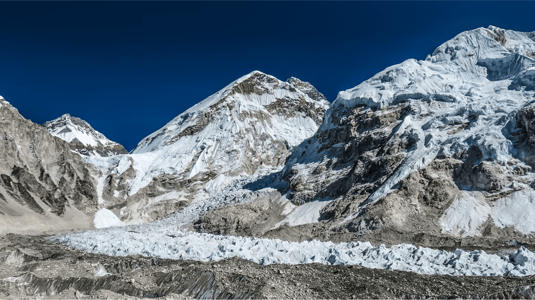
Understanding the Khumbu Icefall and Everest region is much easier with accurate visual references. Route maps, elevation profiles, and annotated photography help both trekkers and climbers build a realistic mental picture of the terrain before arriving.
This section provides maps of the classic trekking approach to Everest Base Camp, the technical climbing route through the Khumbu Icefall, elevation charts for the main valley stages, and a curated photo gallery of key landmarks along the route.
The maps and media here are intended as orientation and planning tools — helping you understand the scale of the Khumbu region, the relationship between key waypoints, and what the landscape looks like at each elevation stage of the journey.
Browse Photo GalleryMaps & Media FAQs
Start With Better Khumbu Information
The Khumbu Icefall is one of the most important and serious parts of the Everest region. Whether you are researching Everest Base Camp, learning about the Icefall route, exploring Khumbu treks or comparing future travel options, start with clear information first.